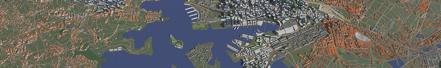
Geographic Information Systems (GIS) have redefined how we collect, analyze, and interpret spatial data. Our services are designed to fully leverage spatial and non-spatial data, AI, machine learning and automation tools to achieve higher levels of precision and effectiveness. We specialize in employing advanced mapping tools to turn complex geographic information into informative visualizations, providing actionable insights to enhance safety, efficiency and decision-making across industries. OTSI provides an extensive array of location-based data services for diverse assets like roads, highways and bridges, facilitating a broad spectrum of route planning and navigation features. Concurrently, our customizable solutions support a wide range of processes, including road network mapping, accident analysis, cost assessment and more, tailored to suit the needs of different organizations. Beyond development, we ensure the seamless operation and maintenance of your GIS systems, keeping them current and reliable. Through continuous monitoring and optimization, we refine your GIS applications to maximize performance and accuracy, delivering integrated solutions that drive long-term value.

To transform complex datasets into strategic insights – we at OTSI, leverage modern Data Modeling and Analytics. By integrating advanced spatial and non-spatial data visualization techniques, we provide clear, actionable representations of geographic patterns and trends. We conduct in-depth data analysis to uncover actionable insights and support strategic decision-making. Through our tailored reporting solutions, we deliver comprehensive, integrated reports that blend spatial and non-spatial data, equipping stakeholders with a unified perspective on key business drivers. By combining these capabilities, we help organizations make informed decisions, optimize operations, and achieve their strategic goals with precision and clarity.
For leveraging advanced spatial analysis and achieving accurate, actionable insights – integrating remote sensing, LiDAR data conversion, and spatial data conversion is essential in GIS application development. We specialize in integrating remote sensing technologies to capture high-resolution imagery and spectral data, transforming these insights into actionable intelligence. Our advanced LiDAR data conversion capabilities turn complex 3D point clouds into precise Digital Elevation Models (DEMs) and other critical formats, supporting detailed terrain analysis and infrastructure development. Spatial data conversion ensures compatibility and interoperability between diverse data formats and coordinate systems, allowing for seamless integration and comprehensive analysis across various datasets. By combining these technologies, OTSI provides customized GIS solutions that deliver accurate, reliable, and actionable insights tailored to your specific business needs.

At OTSI, our data migration services are tailored to optimize your GIS environments. Our cloud migration expertise ensures that your spatial data, analytical tools, and visualization platforms transition smoothly to cloud-based solutions. By employing a structured and systematic approach, we facilitate smooth transitions, whether migrating data between databases, platforms, or storage systems. We manage application migration with a focus on GIS and reporting applications, and our business process migration aligns your workflows with advanced GIS, improving operational efficiency and data-driven decision-making. Database migration services facilitate the secure and accurate transfer of your spatial and non-spatial data across various database systems. By strategically upgrading databases, applications, and underlying infrastructure, organizations can enhance data accessibility, security and compliance.

GIS revolutionizes transportation and logistics by optimizing routes, significantly reducing travel time and operational costs. Through advanced spatial analysis, businesses can enhance fleet management by selecting the most efficient paths for delivery trucks and service vehicles. This optimization reduces fuel consumption and vehicle wear, improves punctuality, and enhances customer satisfaction. Additionally, GIS tools provide real-time shipment visibility and predict potential delays, enabling logistics managers to make informed decisions quickly, reroute shipments as needed, and ensure timely deliveries, resulting in greater operational efficiency and cost savings.

GIS aids in the meticulous planning and maintenance of infrastructure projects by offering detailed and accurate maps and data on existing infrastructure. Engineers and urban planners can use GIS to design efficient, sustainable systems while visualizing complex data layers, such as utility lines, road networks, and public facilities. This comprehensive understanding helps identify areas needing maintenance or upgrades, ensuring effective resource allocation. GIS also supports proactive maintenance by predicting wear and potential failure points, reducing the risk of unexpected breakdowns and costly repairs, leading to a more reliable and resilient infrastructure system.

Choosing the right location for business growth or service expansion is critical for success, and GIS plays an essential role in this decision-making process. It integrates various factors, such as proximity to major roads, travel times, population density, local demographics, site suitability, and competitor locations, into the analysis. By visualizing these data layers, decision-makers can comprehensively evaluate potential sites. For instance, a retail chain can find locations with high foot traffic and favorable demographics, while a logistics company can identify sites that optimize distribution efficiency. Public agencies can ensure that emergency services are strategically located to serve communities effectively, enhancing service delivery and customer satisfaction.

Data Insights in Banking
Our data solutions for the banking sector enables data driven decisions and develop personalized products for customers.

Modernization Solutions for Telecom
OTSI’s integrated data modernization for telecommunications clientele assists in eliminating data duplication, improving customer satisfaction, and performing data migration.